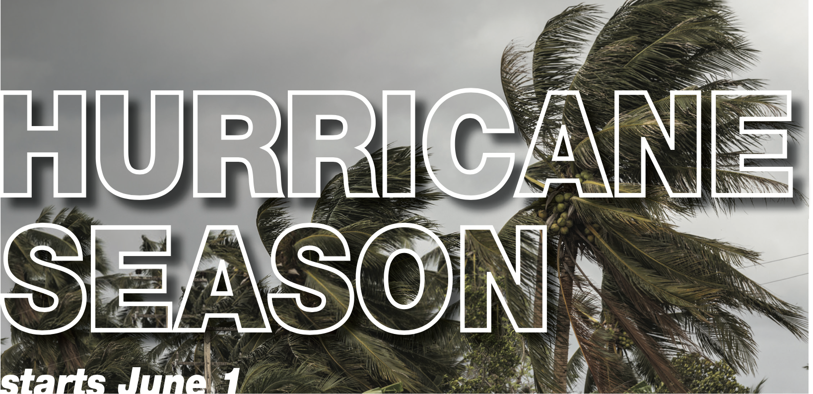
While you may already feel flooded by unsettling news regarding the coronavirus pandemic, weather forecasters are predicting an above-average hurricane season.
Even though hurricanes can happen at any time, the official season, like always, began June 1 and lasts through Nov. 30. The Colorado State University Tropical Meteorology Project team is predicting 16 named storms. Out of those, researchers expect eight to become hurricanes, and four to reach major hurricane strength, packing wind speeds of 111 mph or greater.
A hurricane is a storm with winds of 74 mph or greater, typically accompanied by rain, thunder, and lightning. By contrast, a tropical storm features winds of more than 39 mph, but less than a hurricane.
A tropical depression is a cyclone with sustained surface winds of less than 39 mph. While national disasters such as earthquakes occur without warning, forecasters provide multiple notices before a hurricane strikes. “Whenever a tropical cyclone (a tropical depression, tropical storm, or hurricane) or a subtropical storm has formed in the Atlantic or eastern North Pacific, the National Hurricane Center (NHC) issues tropical cyclone advisory products at least every six hours at 5 a.m., 11 a.m., 5 p.m., and 11 p.m. EDT,” according to weather.gov/safety/hurricane-ww.
Also, when tropical storm, hurricane watches or warnings are in effect, the NHC and Central Pacific Hurricane Center (CPHC) issue Tropical Cyclone Public advisories every three hours. Websites to follow include hurricanes.gov for the Atlantic and eastern North Pacific or weather.gov/cphc for the Central Pacific. According to the National Oceanic and Atmospheric Administration (NOAA), an average hurricane season features about 12 named storms.
The Colorado State team bases its predictions on various models. They are built on 25 to 40 years of historical hurricane seasons and evaluate such conditions as Atlantic sea surface temperatures, sea level pressures, vertical shear levels and El Niño. The shear levels refer to the change in wind direction and speed with height in the atmosphere. Meanwhile, meteorologists associate El Niño with the appearance of unusually warm, nutrient-poor water off northern Peru and Ecuador, typically in late December. The Climate Prediction Center recently released its findings on El Niño. In particular, this year it’s producing weak westerly winds blowing to the east. The lack of wind production means low wind shear and a stronger possibility for pressure to build in the warm water-heavy Atlantic. These conditions resulted in an above-average hurricane season last year. It marked the fourth year in a row with above-average activity in the Atlantic.
The Colorado State report also features the probability of major hurricanes making landfall. The forecasted percentages are
• 69 percent for the entire U.S. coastline (the average for the last century is 52 percent).
• 45 percent for the U.S. East Coast, including the Florida peninsula (the average for the last century is 31 percent).
• 44 percent for the Gulf Coast from the Florida panhandle westward to Brownsville (the average for the last century is 30 percent).
• 58 percent for the Caribbean (the average for the last century is 42 percent).
For detailed information, log onto tropical.colostate.edu.
In the meantime, what supplies should people in hurricane-prone areas have on hand so that they’re prepared if a major storm strikes? According to the Red Cross’ website, people should have:
• Water – at least a three-day supply; one gallon per person per day.
• Food – at least a three-day supply of non-perishable, easy-to-prepare food.
• A flashlight.
• Battery-powered or hand-crank radio (NOAA Weather Radio, if possible).
• Extra batteries.
• First aid kit.
• Medications (seven-day supply) and medical items (hearing aids with extra batteries, glasses, contact lenses, syringes).
• A multi-purpose tool.
• Sanitation and personal hygiene items.
• Copies of personal documents (medication list and pertinent medical information, proof of address, deed/lease to home, passports, birth certificates, insurance policies).
• Cell phone with chargers.
• Family and emergency contact information.
• Extra cash.
• Emergency blanket.
• Map(s) of the area
• Baby supplies (bottles, formula, baby food, diapers).
• Pet supplies (collar, leash, ID, food, carrier, bowl).
• Tools/supplies for securing your home.
• Extra set of car keys and house keys.
• Extra clothing, hat and sturdy shoes.
• Rain gear.
• Insect repellent and sunscreen.
• Camera for photographs of damage.
Also, the Red Cross recommends that people know the difference between a “Hurricane Watch” and a “Hurricane Warning.” The former means conditions pose a threat within 48 hours. In the event of a watch, people should review their hurricane plans, keep informed, and be ready to act if weather officials issue a warning.
A warning means hurricane conditions are expected within 36 hours. Complete your storm preparations and leave the area if authorities direct you to do so.
“Hurricanes are strong storms that cause life — and property — threatening hazards such as flooding, storm surge, high winds, and tornadoes,” the Red Cross’ website reads. “Preparation is the best protection against the dangers of a hurricane.”
For a complete list of what you should do before during and after a hurricane, visit: ready.gov/hurricanes
fema.gov/media-library-data/1494007144395-b0e215ae1ba6ac1b556f084e190e5862/FEMA_2017_Hurricane
redcross.org/get-help/how-to-prepare-for-emergencies/types-of-emergencies/hurricane.html

